Real estate & acreages
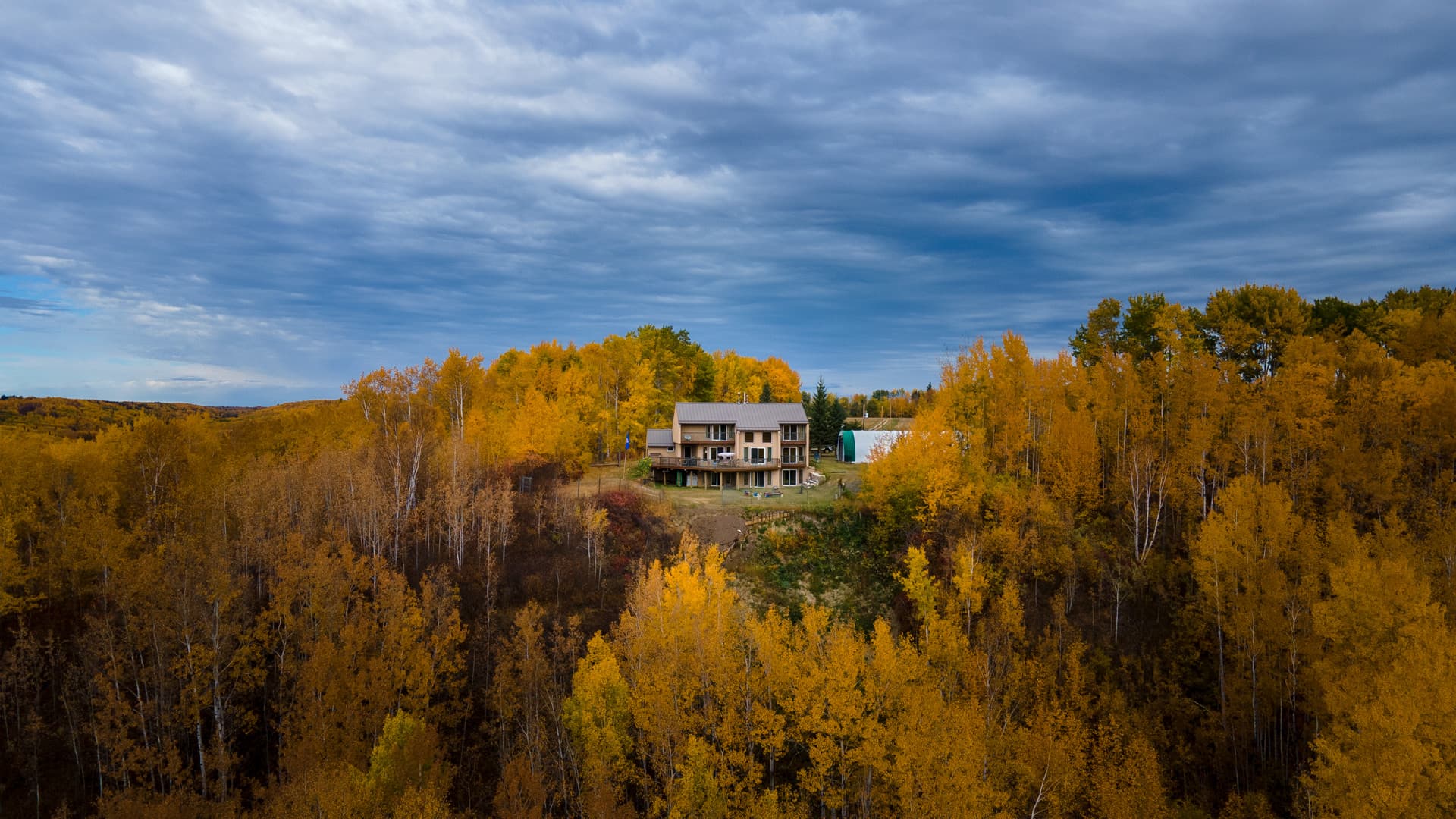
Show the home, land, approach, outbuildings, waterfront, privacy, and surrounding context in a way ground photography cannot.
Drone photography & aerial imaging in Alberta
Aerial photographs reveal scale, access, setting, and relationships that cannot be understood from the ground.
A different point of view
A drone is useful when altitude adds information or feeling—not simply because it can fly. For a rural property, an aerial view connects the home to the land, roads, outbuildings, tree cover, water, and neighbouring features. For a commercial or construction project, it can establish location, progress, access, and overall site context in a single frame.
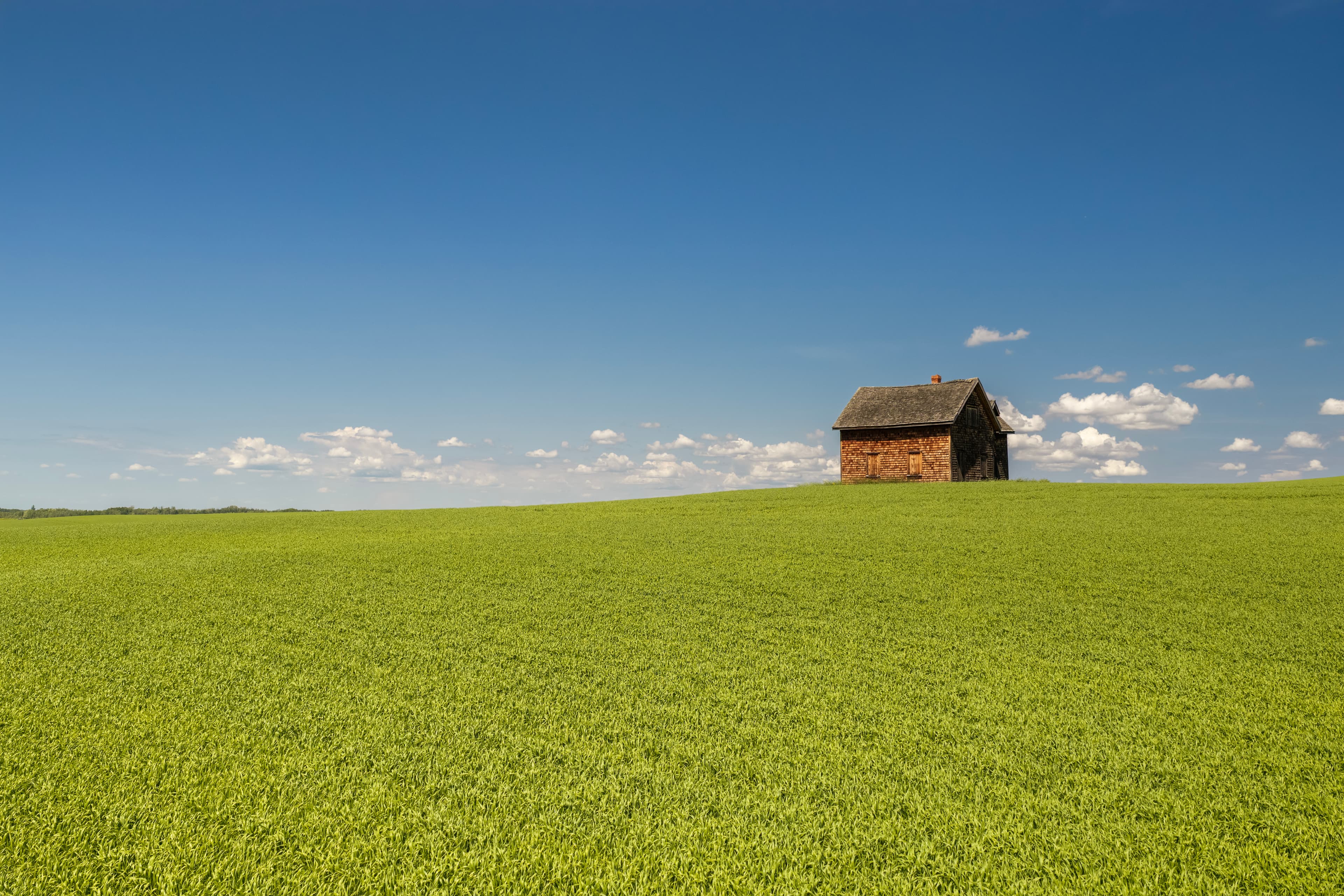
For tourism, hospitality, and fine-art work, aerial imaging can turn terrain, seasons, water, forest, and human-made patterns into photographs with real visual impact. Wide aerial panoramas can extend that view even further, preserving the sweep of a landscape that one frame cannot contain.
Aerial photography services
Still photography, video clips, and panoramic aerial imaging can be planned as a focused flight or combined with a broader production.
Show the home, land, approach, outbuildings, waterfront, privacy, and surrounding context in a way ground photography cannot.
Clarify terrain, access, tree cover, fields, development potential, and the relationship between different parts of a property.
Create useful overview photographs for websites, proposals, stakeholder updates, site documentation, progress records, and marketing.
Connect cabins, campgrounds, resorts, trails, lake properties, destinations, and outdoor amenities to the landscape guests travel to experience.
Photograph Alberta landscapes, seasonal colour, waterways, forests, and large panoramic scenes for editorial, display, and fine-art use.
Ground and air together
The strongest coverage often combines aerial context with ground-level detail. Back Forty can coordinate drone photography with property interiors and exteriors, cinematic video, vertical social edits, corporate photography, or destination imagery so every asset feels like part of the same project.
Aerial work is always subject to weather, visibility, site access, airspace, safety, and applicable flight restrictions. When conditions are not right, we communicate clearly and adjust the plan where practical.
Drone photography FAQ
Back Forty is based in Athabasca and provides aerial imaging throughout Athabasca County, northern Alberta, Edmonton, and across Alberta when the project calls for travel.
Aerial images can support real estate listings, acreage and land sales, commercial marketing, construction progress, development documentation, tourism, hospitality, agriculture, events, environmental context, and fine-art landscape work.
Yes. Aerial photography is available as a stand-alone service or as an add-on to listing photography, property video, vertical social content, and iGUIDE coverage.
Yes. Wind, precipitation, visibility, wildfire smoke, airspace, nearby operations, location access, and other flight restrictions can affect whether aerial work is safe and permitted. Conditions are reviewed for every project.
Yes. When the location and conditions suit the project, multiple aerial frames can be captured and assembled into a wide panoramic view that shows more of the landscape than a single photograph.